Typical Size
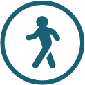
Typical Length of Visit (Hours)
Typical Access
Guidelines for Greenway
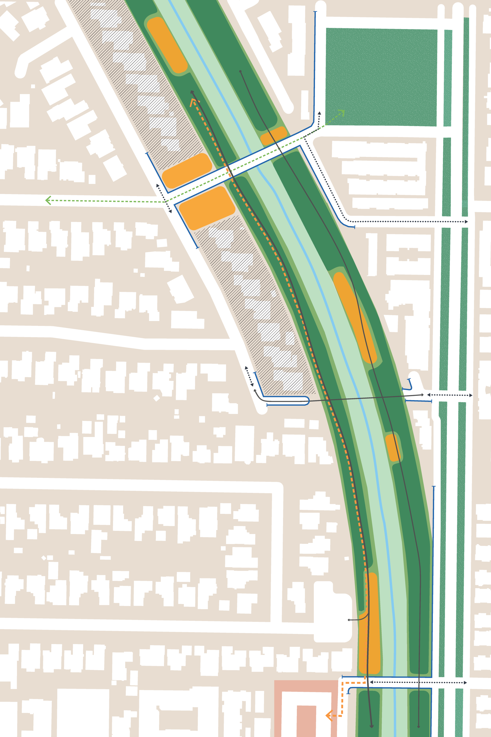


Wayfinding
Gateways (Primary & Secondary)
Wayfinding
Gateways (Primary & Secondary)
Wayfinding
Gateways (Primary & Secondary)
Wayfinding
Gateways (Primary & Secondary)
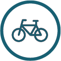
Infrastructure
Bike Parking
Infrastructure
Safe Crossings
Wayfinding
Universal Wayfinding Signage
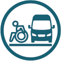
Infrastructure
Accessible Van Parking and Drop-Off
Infrastructure
Bike Parking
Infrastructure
Safe Crossings
Infrastructure
Transit Stop
Connectivity
Seamless Public Space
Connectivity
Seamless Public Space
Zones
Natural Areas
Zones
Casual Use Areas
Zones
Casual Use Areas
Wayfinding
Universal Wayfinding Signage
Casual use spaceconnects back into
neighborhoodTrail connection
to local green
spaceCOUNTY PARKS
PROPERTYLIBRARY